
Over the course of this summer (2020) I scouted the XP Bikepacking Route from Echo Summit (above South Lake Tahoe) to Old Town Sacramento. That's about Mile 2072 to Mile 2203. I've broken this portion of the Route into day trips and am riding them one at a time.
In addition to pre-riding the PX Bikepacking Route, I am comparing it to an alternate route, the 2017 Centennial route. In 2017, some local dirt riders recreated a 1917 ride from Sacramento to Echo Summit. I've contacted the route organizer and have been comparing notes between their planned route (linked above) and their actual route on the ride. (You can see and their Facebook page has some good pictures from the ride.) In addition, I've been in touch with the rangers of Eldorado National Park (through which the route runs in California) to ask about alternate routes and other trail information. The result is in the Routes (planned ahead of time) and Rides (recorded in real time) below.
For most of these Routes, I have been taking the 2017 Centennial Route in one direction and the Pony Express Bikepacking Route in the other. Because I live in Davis (west of Sacramento), I'm scouting the PX Route from west to east: that is, from its western terminus in Sacramento to Echo Summit by Lake Tahoe. Once I'm finished, I'll compile an over map with comments in case that's helpful to anyone else.
Scouting Reports
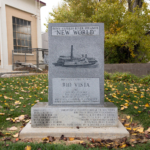 The New WorldDecember 29, 2021
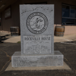 Rockville StationApril 12, 2021
 Five Mile StationApril 12, 2021
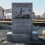 The AntelopeFebruary 25, 2021
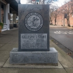 Gillespie’s StoreFebruary 2, 2021
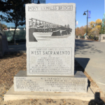 Pony Express BridgeDecember 11, 2020
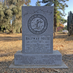 Halfway HouseDecember 1, 2020
 Solano HouseNovember 27, 2020
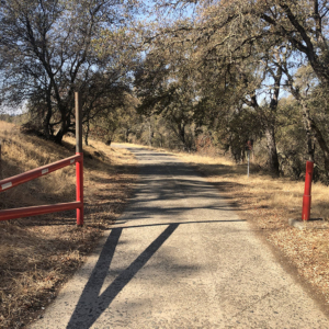 Scouting: Cameron Park to Old Town FolsomNovember 13, 2020
 Scouting: Echo Summit to Lover’s LeapSeptember 23, 2020
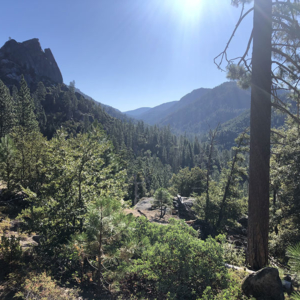 Scouting: Lover’s Leap to Sand FlatAugust 15, 2020
 Scouting: Sand Flat to RivertonAugust 4, 2020
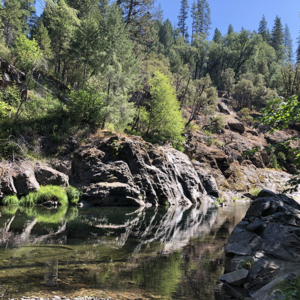 Scouting: Pacific House to Pollock PinesJuly 25, 2020
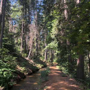 Scouting: Pollock Pines to PlacervilleJuly 19, 2020
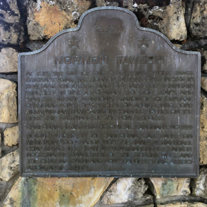 Scouting: Mormon TavernJuly 15, 2020
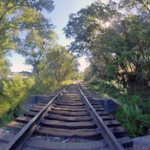 Scouting: Placerville to Shingle SpringsJuly 13, 2020
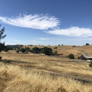 Scouting: Shingle Springs to FolsomJuly 11, 2020
 Shakedown: Folsom to SacramentoJuly 11, 2020