The air has finally cleared enough from the summer fires to where it is "moderate" rather than "hazardous." On top of that, road crews have shut down US 50 (which goes over Echo Summit) for a week for road repairs. US 50 in California is a fast-moving highway. By afternoon it is a constant stream of traffic in the mountains speeding east and west between California and Nevada. Having the summit closed meant virtually no traffic from Placerville east, which I knew would make for a more relaxing drive (about 90 miles each way from my house).
My initial plan was to camp at Lover's Leap campground. But due to the fire risk, no fires are allowed, not even camp stoves. So rather than go without hot meals, and more importantly, coffee, I just drove up and back in one day.
The ride is short (less than 10 miles each way) but steep—2,000 feet of elevation change over that distance. Meaning the ride to the summit would be a bear, and the ride back would be a roller coaster.
I posted a video of the last portion of the ride (from Sayles Creek to Lover's Leap campground). It's a little long, but gives you some idea of the terrain, as well as the notorious Slippery Ford section. You can view it at the bottom of this page, or at https://www.youtube.com/watch?v=O1964rn4P3o
Lover's Leap to Echo Summit
The ride starts out easily enough, right at the end of the campground parking lot. This first mile follows the Slippery Ford Trail. It leads to a crossing of the American River which was particularly difficult for pioneers because, they had to cross the river on an inclined, smooth granite surface. Apparently many horses and mules lost their footing here and, along with wagons and their contents, were swept down the river and over the falls. Though the XP trail leads toward the ford, the trail turns uphill before reaching the actual crossing. Anyone interested in the migration to California between 1840s-60s could have a nice afternoon here finding historical spots. There are a few California Trail markers along this stretch, but most are off the XP Trail and would need to be sought out.
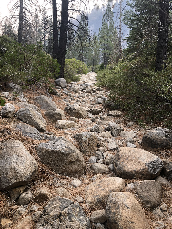
More to our immediate concern, however, is the nature of the trail bed. It is granite rock, everything from gravel to boulder, and all of it seeming to stand on end to make the section void of any path or line for a bike to navigate. It is essentially a dry mountain stream bed, impossible to get momentum or decent tracking for any distance. I would mark the lower half of this section as hike-a-bike. It was impossible to ride uphill, and difficult to ride downhill. I walked the entire section riding up, and had a bone-jarring ride down. I did it on a full-suspension 29er with Cush Cores protecting my rims. I wouldn't recommend trying to ride it on anything less rugged.
After Slippery Ford, the trail climbs up a series of switchbacks through loose dirt and sand strewn with smaller rocks. Not impossible to ride, but I did dismount a couple of times on the sharper turns. I just couldn't get around them without slipping out.
From here on the trail a nice mountain bike trail. Lots of climbing, but nothing overwhelming. Most of the trail would probably be fine on a good gravel bike, but I liked having the fat knobbies under me, as well as the suspension.
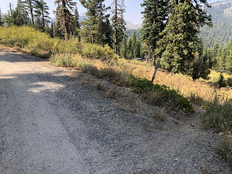
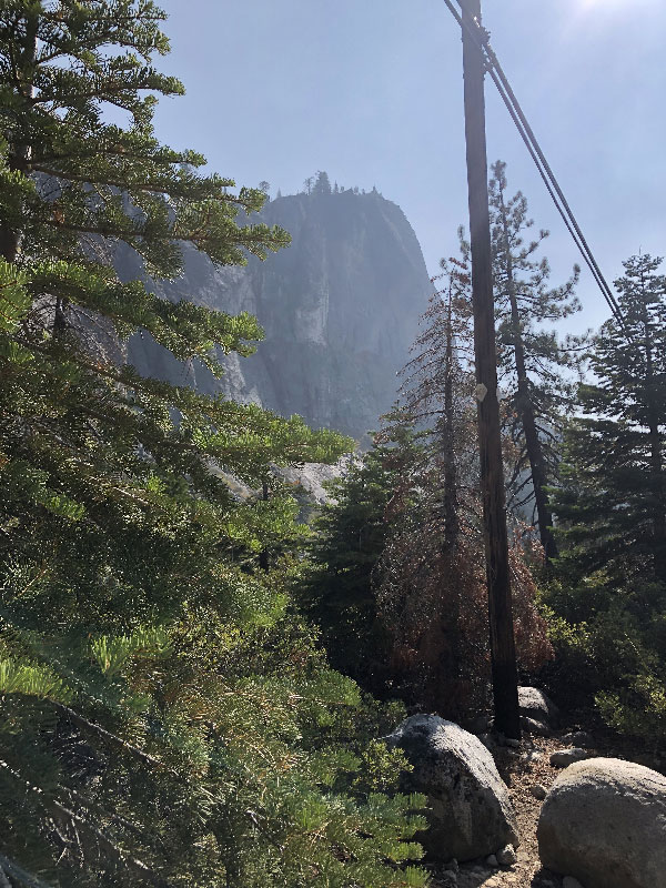
There are not a lot of grand views along this section, though it does open up in spots. The trail runs through a ski resort on a service road. In fact, it alternates between single-track, fire road, even some asphalt near the summit. All along it is reasonably well-marked. Easy to follow if you have a GPS track and are paying attention.
You can see my ride to the summit at https://ridewithgps.com/trips/56556678.
Echo Summit
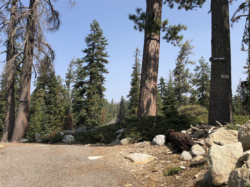
There is an actual Echo Summit sign at the top. I believe at this point you are on the original highway into California. The sign, as all signs at the summit, is high in the tree to allow for snowfall.
Just at the summit, a sign leads the XP Trail south. The XP Bikepacking route continues straight here, but I followed the XP sign just to see where it leads. A quarter of a mile or so down the trail it intersected with the Pacific Crest Trail, a hiking trail from Mexico to Canada. There were no other XP signs in the area, so I rejoined the Bikepacking Trail to US 50.
PCT continues on the other side of 50, so I took that as a short cutoff to Johnson Pass Road. At the end of the cutoff, there is a trail marker sign that designates the trail as for hikers and horses, not bikes. So, my bad. I took a break here before starting back down on the official Bikepacking Route.
Echo Summit to Lover's Leap
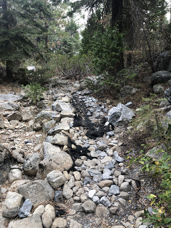
As advertised, this was a roller coaster ride, and mountainbiker's romp. Lots of fast flowy trails, some steep climbs, switchbacks, stream crossings . . . really, just a lot of fun. It would not be as playful on a fully loaded gravel bike, of course, especially after 2,000 miles. But I think overall it would still be a mostly pleasant ride. There were other bike tracks on the trail here, and if you do a little searching, you'll see that MTB riders have mapped this route out for a one-way ride (with a drop-off at the top and and pick up at the bottom). I have no idea how busy this trail gets at the height of summer, but I wouldn't be surprised if it gets a fair amount as it is so close to South Lake Tahoe.
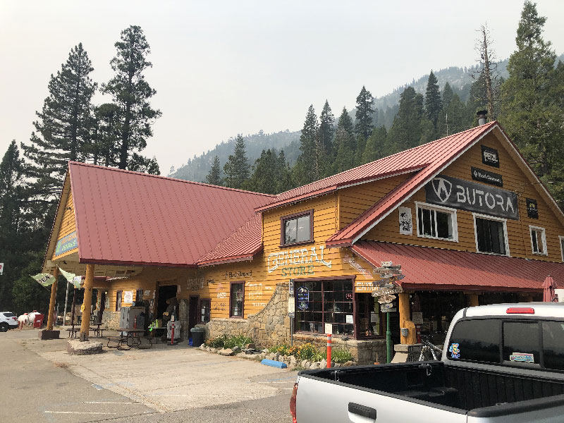
As with the ride up, Slippery Ford Trail was grueling. Short, but tough. MTB routes recommend going up and over Lover's Leap Summit to avoid Slippery Ford. There is also a road at the top of the Ford which leads to US 50 (designated as Slippery Ford Trail on topo maps. I did not ride either alternate, so I can't comment on them, except to say that riding over Lover's Leap means riding past the campground, as well as the hotel and store in Strawberry. So if you need water, a restroom, a place to camp, or reprovisioning, you'd have to backtrack up US 50 to find them. Depending on your needs at the time, you are probably best off just walking the really bad half-mile or so of lower Slippery Ford.
My route down, with notes and pictures, is at https://ridewithgps.com/trips/56556683. Note: I took note of trail intersections, as well as pictures. Some of the photo icons are hidden under the POI icons, so you really have to zoom in to find them.