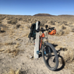
Over the course of this summer (2020) I scouted portions of the XP Bikepacking Route east and west of Austin, Nevada, from Dry Creek Ranch to Echo Summit. That's roughly Mile 1830 to Mile 1915. Roughly, because the current XP Bikepacking Route bypasses a lot of the original XP Trail through this section. I set out to see how much of the original route was rideable, and to see whether it was viable to try to follow the original trail.
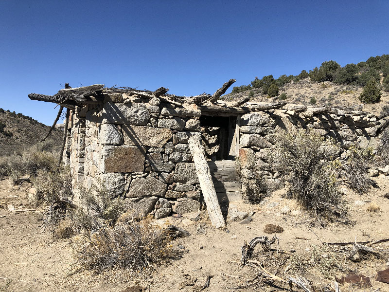
Stations along this portion (from east to west) include Dry Creek, Simpson Park, Reese River/Jacobsville, Dry Wells, and Smith Creek. The current route bypasses all of these sites, mostly out of concern that the XP Trail is blocked by private property. Two other stations, Edwards Creek and Cold Springs, are also off the route, and the only viable means of visiting them would be to follow the XP Trail and Old Overland Road to Basque Summit in the Desatoya Mountains, rather than south over Carroll Summit on Highway 722 (where the XP Bikepacking Route currently runs).
Austin is a little over three hundred miles from my house in Davis. I made a few trips out there to ride discreet sections rather than try to scout the entire area in one long trip.
I found that all of these stations, other than Smith Creek, are accessible without trespassing on any property. And even though Smith Creek Station is on private land, it is possible to go around the property to rejoin the XP Trail and visit Edwards Creek and Cold Springs Stations.
Following are my ride reports for this section. The official XP Bikepacking Route may be revised to include some of these sections. If not, anyone who wants to vary from that route to follow the XP Trail might find the following reports helpful.
Scouting Reports
 Scouting: Sand Springs to Simpson PassNovember 7, 2020
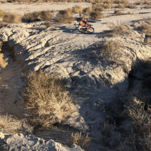 Scouting: Carson Sink StationNovember 7, 2020
 Scouting: Simpson Pass to Highway 95November 7, 2020
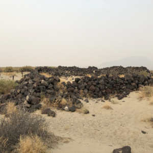 Sand Springs StationOctober 23, 2020
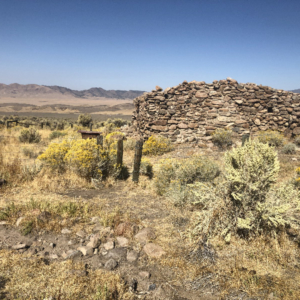 Cold Springs StationOctober 23, 2020
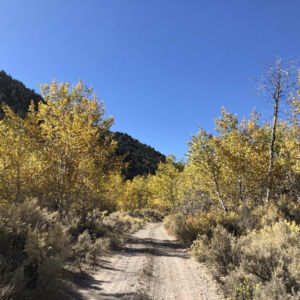 Scouting: Basque Summit/Smith Creek RanchOctober 22, 2020
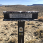 Scouting: Smith Creek Summit/Dry Wells StationOctober 22, 2020
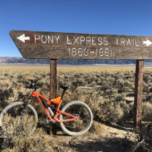 Scouting: Old Overland Road to Smith Creek SummitOctober 22, 2020
 Scouting: Jacobsville/Reese River StationOctober 21, 2020
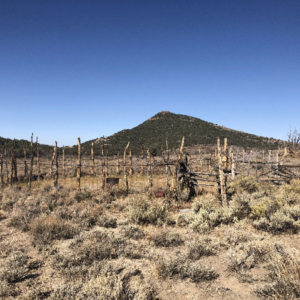 Scouting: Dry Creek to AustinOctober 9, 2020
 Austin, NevadaSeptember 19, 2020
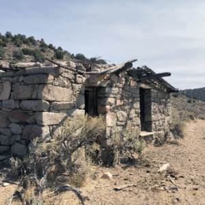 Scouting: Simpson Park StationSeptember 19, 2020