This is the third of three reports on the route between Sand Springs and Carson Sink Stations. Part 1 ("Sand Springs Station to Simpson Pass") is here, and part 2 ("Simpson Pass to Highway 95") is here.
Carson Sink Station lies just about one mile west of Highway 95. At this point, the XP Trail runs about 12 miles south of Fallon, Nevada. After my ride out to Simpson Pass, I decided to scout the short section out to the station site.
This wasn't as easy as I would have thought. First, I wasn't able to park near the XP Trail. I had the same problem when I wanted to scout the route eastward, between Highway 95 and Simpson Pass. The ground of both sides of 95 in this area are the same oozing, pockmarked, mogully, soft underbelly dirt. Plus, the shoulder slopes down from the road here. I could easily see my car getting stuck. As with my previous ride, I parked on a graded gravel road off the highway about a half-mile south. As it turns out, that's where the two-track to Wildcat Freight Station comes out, but that wasn't really a help on this ride.
After riding back up to the trail, I discovered that due to some error on my part, I didn't have any maps available on Ride With GPS. That is, I did have a map of the entire XP Bikepacking Route, which I had planned to use, but for some reason, it wouldn't load. I had a vague idea of where the station was, and thought that if it was only half a mile from 95 (as I recalled some websites stating), I could probably find it, or at least not get lost trying.
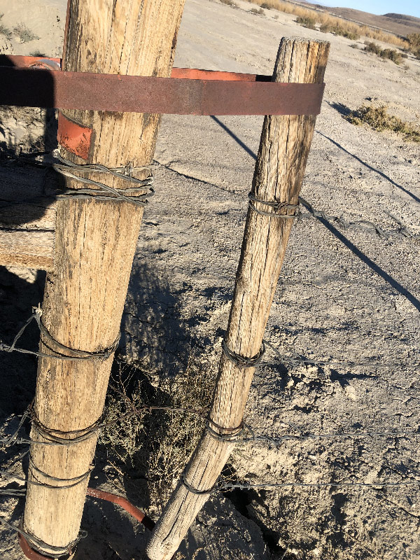
There is a gate on the west side of 95 which grants access to the XP Trail. It is about a tenth of a mile north of the XP Trail gate on the east side of the highway. Unlike the east gate, it is not marked with an XP Trail sign. Once I found the gate, however, I could see the orange marker probably 700 feet or so on the other side. The gate itself had the usual two loops holding it in place. But it also had a strand of barbed wire tied in the middle. I wasn't able to untwist the barbed wire with my fingers; instead, I lifted my bike over the low fence (about 4' tall), and climbed over.
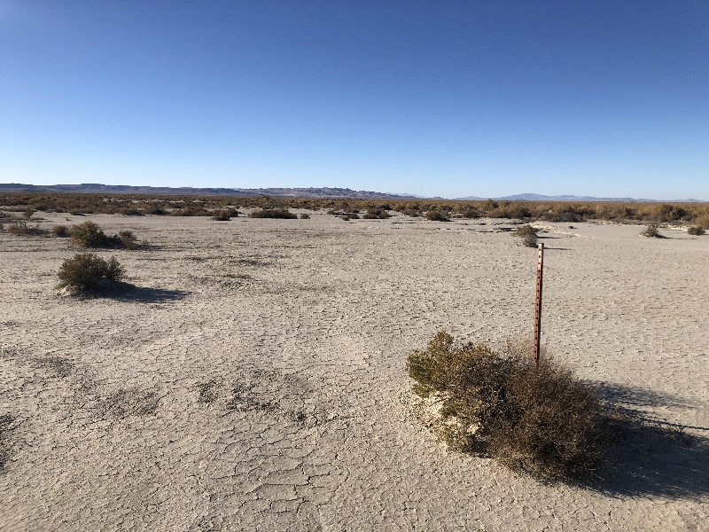
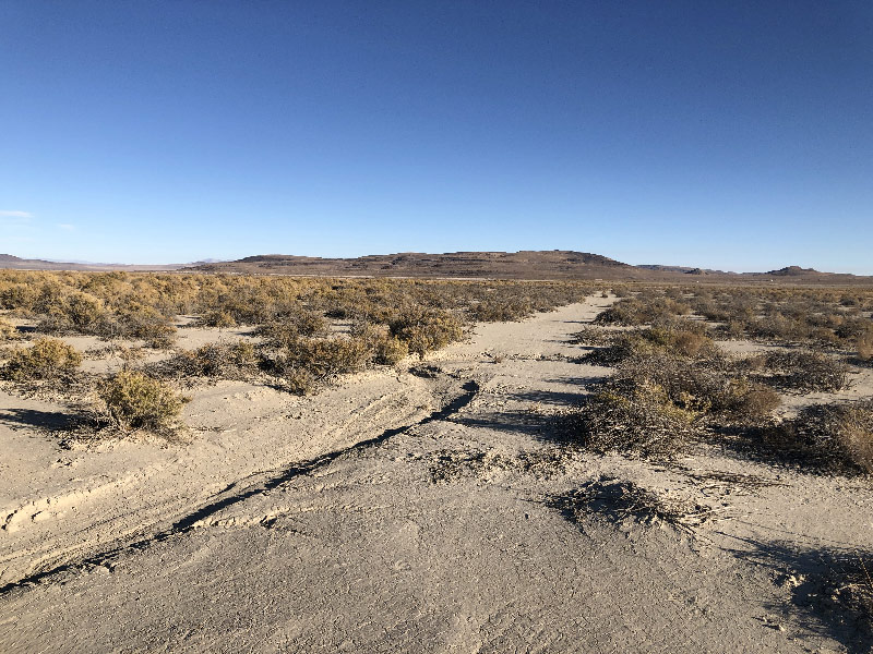
The ground here is lake bed that appears to drop from the Desert Mountain to the south toward the irrigation canal just to the north of the XP Trail (labelled "G Line Extension Drain"). Like the dry lakes to the east I had ridden earlier Fourmile Flat and Bass Flat), it looked as if rains every year wash out whatever evidence of road there might otherwise be. Fortunately, with the XP Trail marker ahead, I just steered toward that and hoped there was another one further west. Happily, there was. But in between the two signs, rushing water had dug trenches across the trail. In this section, the trail runs more or less parallel to a wash (G Line Extension Drain), and water from further up the slope to the south runs across the east/west XP Trail to get to the wash. Some of the stream beds were shallow. I came to one, however, that had vertical walls. It was not particularly deep, maybe 18-24" or so, but just deep enough and wide enough and filled with enough greasewood to make it too far to jump and too much of a pain to walk through. And it wasn't the only one
(There is a short video below of my detour to ride around one of these gullies.)
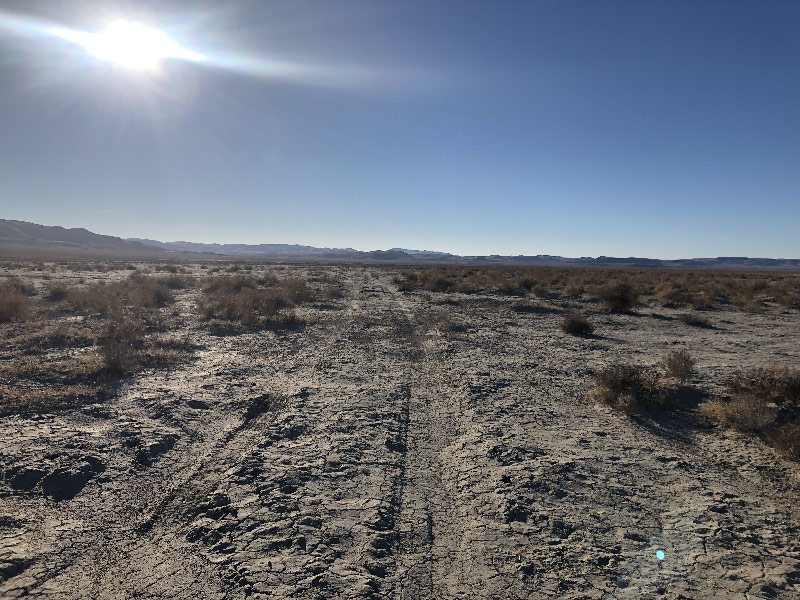
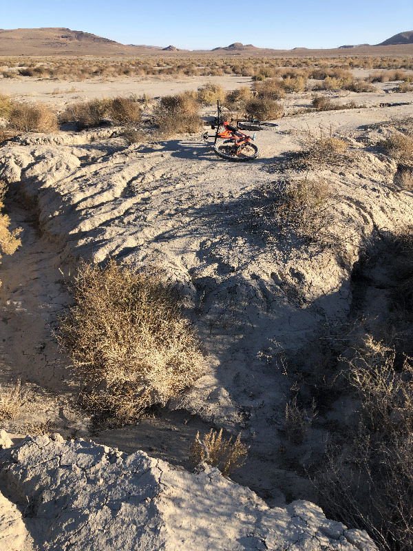 So I turned off the ley-line between the two XP signs and wandered south to look for a crossing. By the time I found one I thought I saw a raised road ahead, so I aimed for that, only to find it was just tire tracks. Eventually, I headed cross-country back to toward the wash, going around the occasional gully. Near the wash, the ground must have been a little higher because the outlines of a road were more visible. I remembered that the Carson Sink Station site lay along a road that ran to the southwest that intersected with the east/west road I was (supposedly) on, so I kept my GPS screen on satellite view until I came to a road running in that direction.
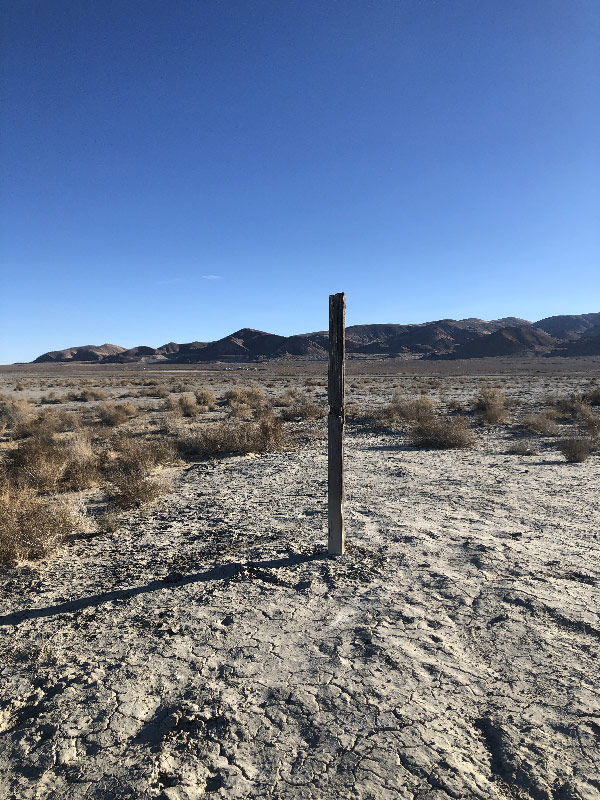
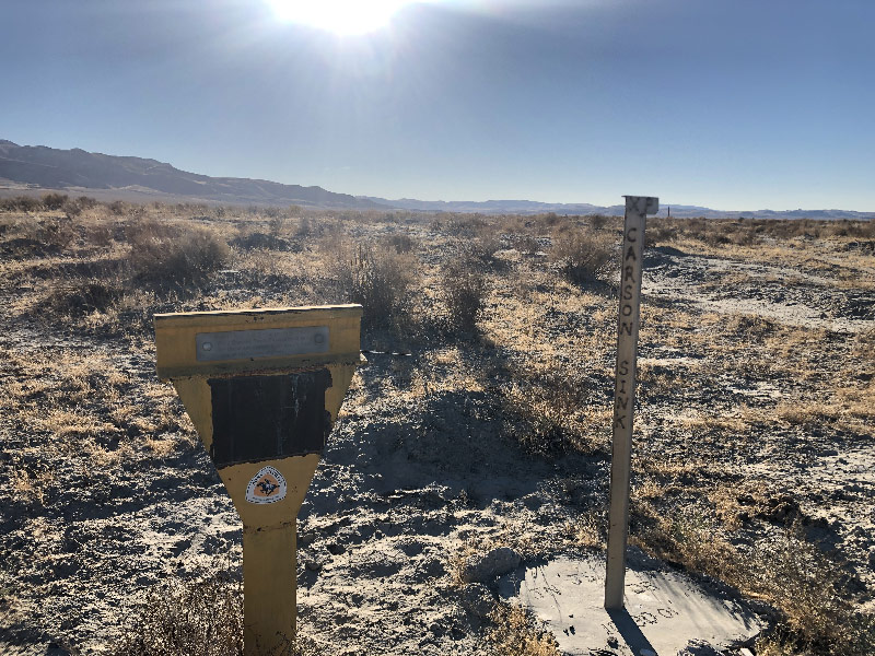
Once I found the crossroad and turned, I could not see the station site. But on a rise, probably a quarter-mile off, I saw a bare post standing, which I knew from my earlier scouting trips in Nevada, marked the trail. Sure enough, a little further along, I found the Carson Sink Station site markers.
There is not much at the site—a Central Overland marker and a Pony Express plaque and stainless steel Pony Express Trail marker—but I was glad to have found it.
The ride back was less circuitous, though I did make a few fully detours.
I seriously doubt the ground between Highway 95 and the station site is rideable when wet. Based on the gullies and the absence of road closer toward the highway, it looks like a lot of water rushes across here at times. There is an alternate route about a mile and a half north (Simpson Road, which the American Discovery Trail follows). Jan pointed me out to a blog post, however, of some riders who had planned to take that road only to find it submerged. (The post is here.) This same riders took a road a little further south on higher ground. So while the Carson Sink Station site might not always be available, it seems possible to continue west more or less parallel to the XP Trail from Highway 95 by staying south, closer to the mountains on higher ground.
As with many sections of the route, depending on weather, you might have to be a little flexible in your route, your itinerary, and in your comfort in riding unscouted roads.