For my last Nevada scouting trip this season, I headed back out to Fallon for a ride I've been looking at for months: The Pony Express Trail from Sand Springs to Carson Sink Station. These two stations lie in a direct east/west line between US 50 and Highway 95, with Simpson Pass and Sand Hill Station in between. The current XP Bikepacking route bypasses Simpson Pass, Sand Hill Station, and Carson Sink Station, taking US 50 where it turns north (at Sand Springs Station, Mile 1952 on the Pony Express Bikepacking Route) through Fallon instead.
Last June, Kurstin Gerard Graham scouted this section of the trail, starting further west, from Buckland Station and reported his ride on the Bike the Pony Express Facebook Page. (I've collected Kurstin's maps and report here.) Ever since reading his report, I've wanted to ride the eastern half of this route (between Highway 95 and US 50). I finally got my chance the last week in October.
I rode this section in three parts, and have also broken my report into three parts. This is Part 1. Part 2 ("Simpson Pass to Highway 95") is here, and part 3 ("Carson Sink Station") is here.
Sand Springs Station to Simpson Pass
I visited Sand Springs Station by car on my way home from one of my previous scouting trips, so I didn't need to start the ride there. Good thing! Because apparently Halloween weekend is huge at Sand Mountain Recreation Area, the off-road vehicle mecca adjacent to Sand Springs. Every parking area and every highway turnout along US 50 was overflowing with RV compounds, and the road in and out of the area was swarmed with off-road toys.
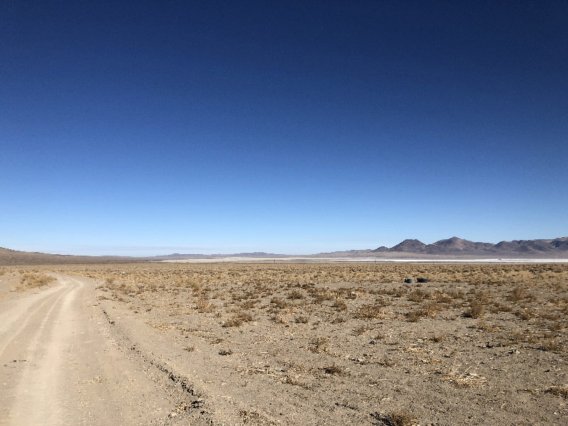
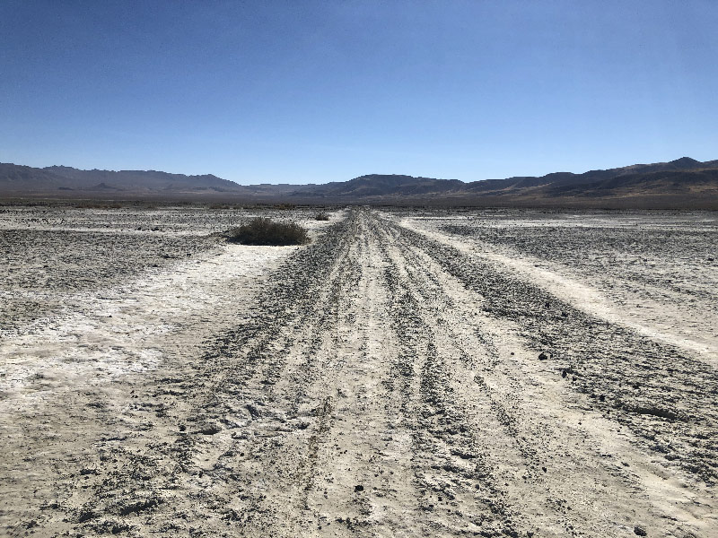
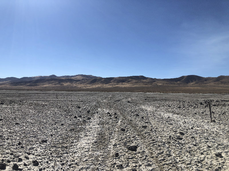
My goal for the day, Simpson Pass, lies on the other side of Fourmile Flat, an alkali-crusted, dry lake bed. These dry lake beds, also called playas, look inviting, but are impossible to ride over if there is any moisture in them at all. In scouting this area for a wagon route in the summer of 1859, Colonel James Simpson wrote, "the Alkaline Valley where we crossed will evidently be impassable from mire in wet weather." On the XP Bikepacking Route map, Jan states flatly, "Playa is unrideable."
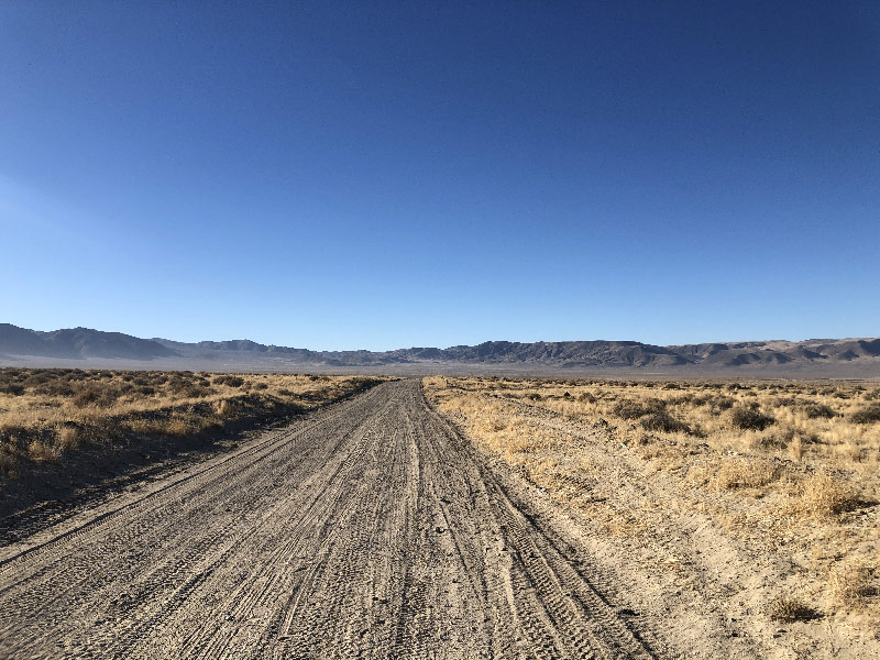
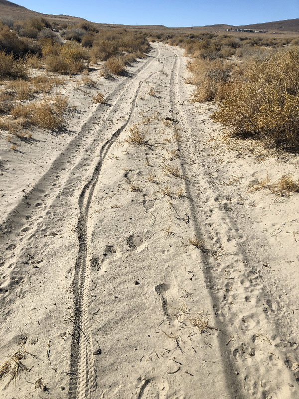
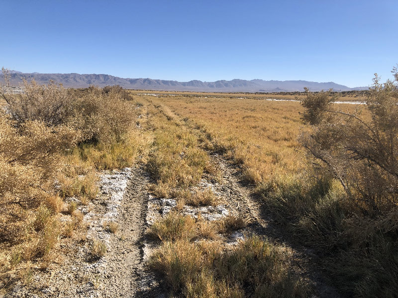
To get around Fourmile Flat, I followed a road that went around the south end on higher ground. It turned out to be a wide, well-graded gravel road, with a few sandy areas where washes crossed it. This runs for about five miles southwest, whereas Simpson Pass is northwest, which is frustrating. But I kept to it, then turned north on a smaller road that runs along the base of the Cocoon Mountains. A few miles up, the road divides. I had planned to take the right-hand fork on the way up to the pass, as this looked to be the better-marked road. Not paying attention, I kept left, to what looked like the main road. Orange "XP" markers started appearing along the road at intervals. As it turned out, this left-hand fork is the trail marked as the Pony Express Trail by the Bureau of Land Management.
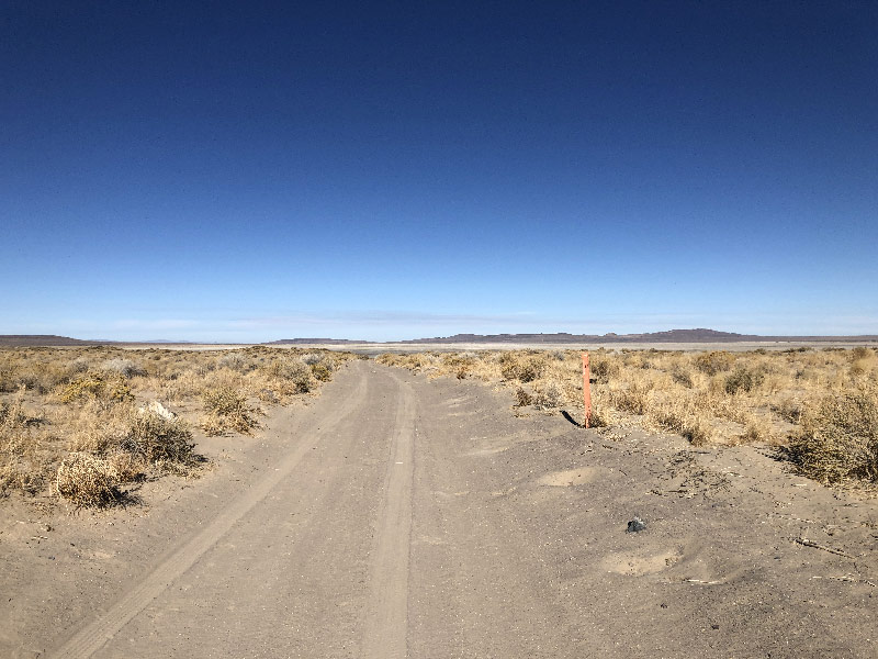
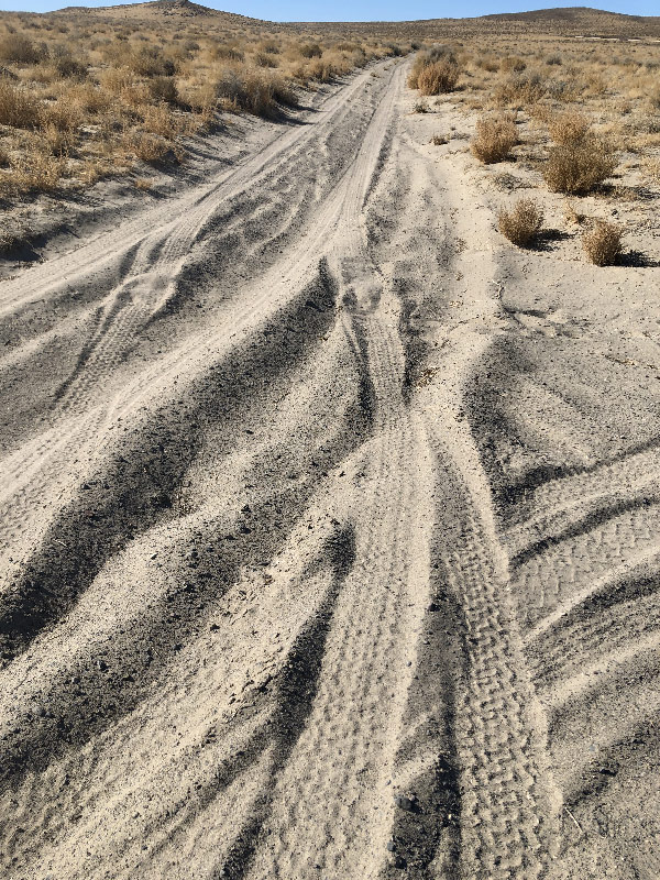
Most of this road was fine on a mountain bike. It varied from hard surface, to very rocky, to deep sand stretches I had to labor through. Later in the day there were four-wheel—does anyone call them dune buggies anymore? I guess technically they're OHVs, Off-Highway Vehicles—Anyway, that's what you need if you ant to drive on these trails.
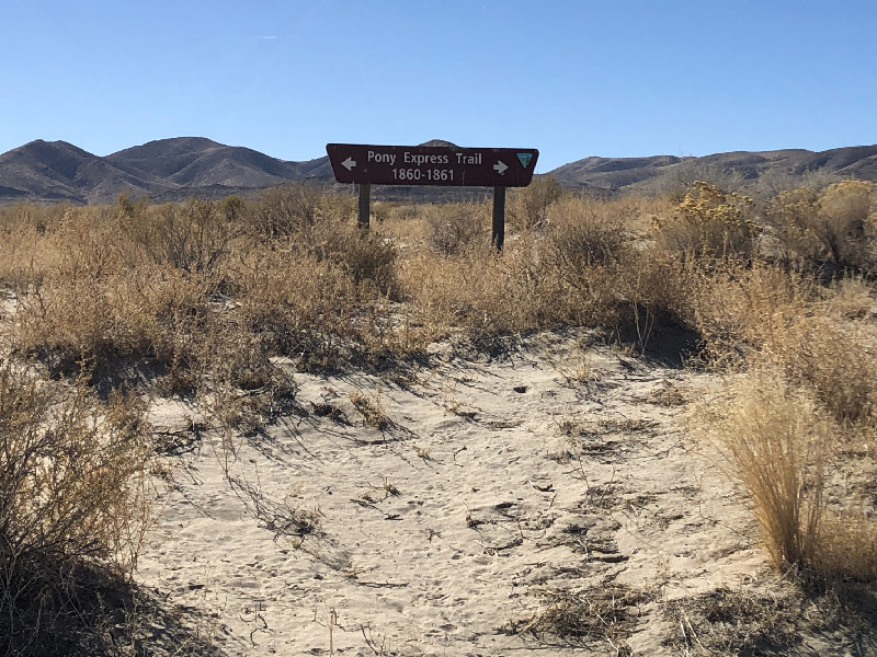
Eventually the trail turns west toward the pass. There is a geothermal plant just east of the pass, and the road up to it was wide, firm, and well-graded. There is a Pony Express sign at the base of this road. There's also a Nevada Historical marker just past the geothermal plant. Which was nice, but I had to wonder, how many people a year even make it out here to see either of these signs?
The final mile to the pass turns off from the nice geothermal-plant road to a gradual, but sandy climb. I had to walk the bottom portion of this section, the sand was so deep. After that, it was just a slow grind to the top.
At the summit is a four-foot tall concrete obelisk commemorating the Pony Express, placed there by the BLM. At this point you are standing on a saddle between the Cocoon Mountains to the south and the Bunejug Mountains (yes, that's the correct spelling) to the north. Behind you, to the east, is Fourmile Flat, and in front of you, to the west, is Bass Flat, another alkali lake bed, the White Throne Mountains, and the Wildcat Scarp, along which the XP Trail runs. It is not an overwhelmingly beautiful view, though it is worth seeing. It also isn't necessarily as quiet as you might imagine. There were fighter jets from the Naval Air Station in Fallon flying overhead all day.
Sand Springs Station to Simpson Pass
On my way back to Sand Springs Station, I wanted to stop by Rock Springs to see if it might be a source for water. I also wanted to make sure to ride the route I had originally marked as my outbound route. Even though I had found the route marked as the XP Trail from Sand Springs, I wanted to make sure it was the better of the two.
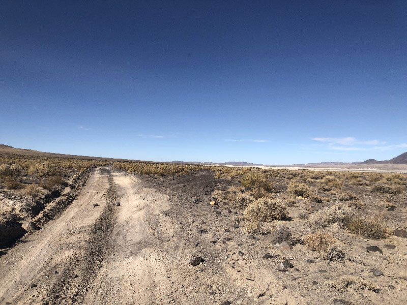
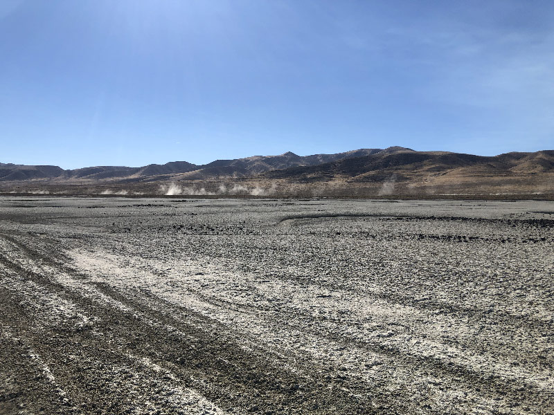
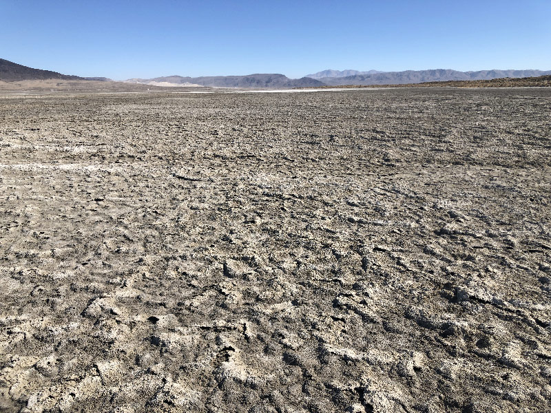
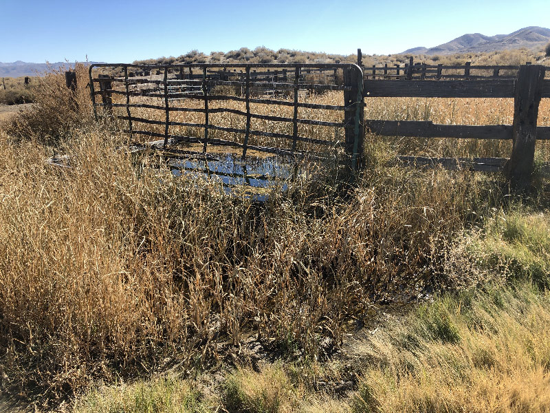
The turnoff to Rock Springs was down a very sandy hill. I couldn't even pedal down it was so deep. At the bottom was a corral area with water running into a large trough. There are no springs marked here, and the water in the trough looked scummy, so I couldn't really mark it down as a water source for riders. Past the corral area lay the edge of Fourmile Flat. Rock Springs is a mound with the only plant life on the Flat, about a quarter mile "offshore." It looked something like a miniature Gilligan's Island. The surface of the Flat was very uneven, and riding on it was basically breaking through a crust to a softer surface below. It was passable, but relatively slow. There was a road marked on the map here, but whatever road is supposed to be here seems to get wiped clean every wet season. I had mapped this because it's marked on the OSM Outdoor map as the ADT, the American Discovery Trail, so I assumed it was the better trail through this section. It isn't. Shows you the benefit of scouting, I guess.
There were OHVs ruts that ran toward Rock Spring, and I found it much easier to ride in the ruts than to go cross-country. As it turned out, Rock Springs was a bust. There were containers for water, but they were dry and filled with junk. There was a standpipe, but no water coming out, and I could not find a pump. Oh-for-two on a water resupply in this area.
From Rock Springs, I turned south to follow the "road," which is only tire tracks. Following GPS and tire ruts, I kept to the line on the map, which runs along the edge of the flats. In this dry season (late-October 2020), it was passable, though slow in softer spots. Looking at the depth and contour of the tire ruts, I have to believe that it would be impassible on a bike if wet. On his return trip east toward Salt Lake City, Colonel Simpson called the going through Fourmile Flat "heavy," by which he meant slow. It was easy to see how, in wet conditions, even plus-size bike tires would sink into the clay-like lake bed, get stuck there, and mire you down.
There's a short video of my ride to Rock Springs and searching for the road in Fourmile Flat below, which gives some idea of the riding surface.
From Rock Springs you can see Sand Mountain; from US 50, it's easy to see the geothermal plant near Simpson Pass. It would be tempting to set a straight-line course over Fourmile Flat and cut some miles off your trip. In fact, the Pony Express apparently did cross the Flat from a promontory a little further north of Sand Springs Station. It struck me, however, that even in dry weather, if you ran out of tire ruts or rivulets to follow, you'd have a long slog. With the glare off the white surface and the absolute absence of shade, it could be a long, hard crossing in the summer.
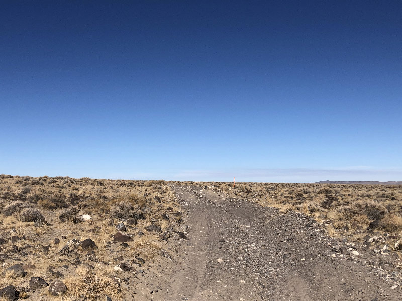
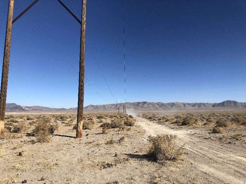
Once south of the Flat and back on higher ground, I took a cutoff back toward US 50 I'd noticed earlier: a power line road that looked like it cut off about two miles from my outbound track. This road went through, and is a viable cutoff. The only problem is that it is sandy the entire way. Rideable, but slow and somewhat more taxing than the graded ranch road. I crossed paths with a few OHVs along here, staying to the upwind side of the road. I actually left the road to make room for them, and the sand next to the power line road wasn't much harder to ride in than the road itself. I might have thought that being off-road vehicles, maybe the drivers would actually veer off and play in the sand, but that didn't happen. Instead, they politely waved and kept on spinning all that dust and sand into the air.
So there's no issue on this part of the trail, if you stick to the trail. The next part, however, west of Simpson Pass, is a little more problematic.