Yesterday (8/3/2020), I drove rode further up into the Sierra Nevada to scout the trail between Sand Flat campground (near Kyberz) and Riverton (just before Mile 21o7 to Mile 2118 on the Pony Express Bikepacking Route). This was largely an out-and-back ride, as the PX Route and the 2017 Centennial Route and the Pony Express Bikepacking Route are the same in this section.
In riding this section, I skipped a four-mile stretch from where my last scouting tip left off. Specifically, the route between Riverton and Pacific House (Mile 2118 to Mile 2122 on the Pony Express Bikepacking Route). These miles are mapped to ride on US 50. I have been searching for an alternative route. But after talking to the Park Service and to the 2017 Centennial Route organizer, It seems there is no viable way to avoid this stretch of highway riding.
Sand Flat to Riverton
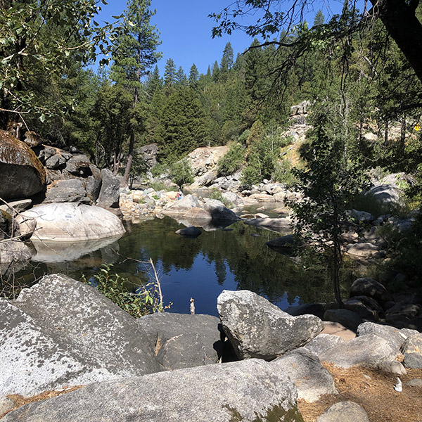
Sand Flat is a US Forest Service campground. It is not on the PX Route, but is not far from the Route and would make a good overnight stop. To get there, you need to turn off the Route just before Mile 2017 (where the single-track Pony Express Trail meets Weber Mill Road), and ride down to US 50 and head west for about a quarter mile. It's a beautiful little campground right on the river. I plan to stay there next week when I scout the upper portions of the trail near Strawberry.
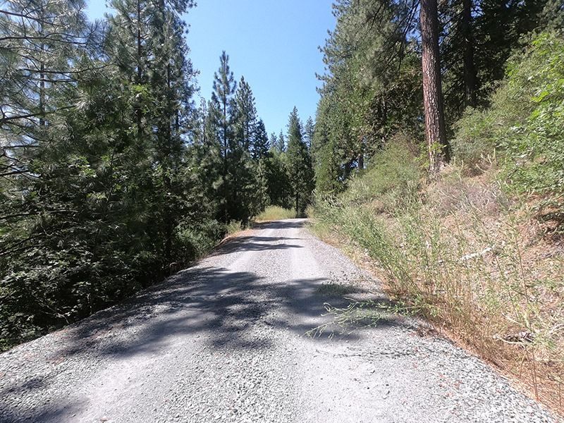
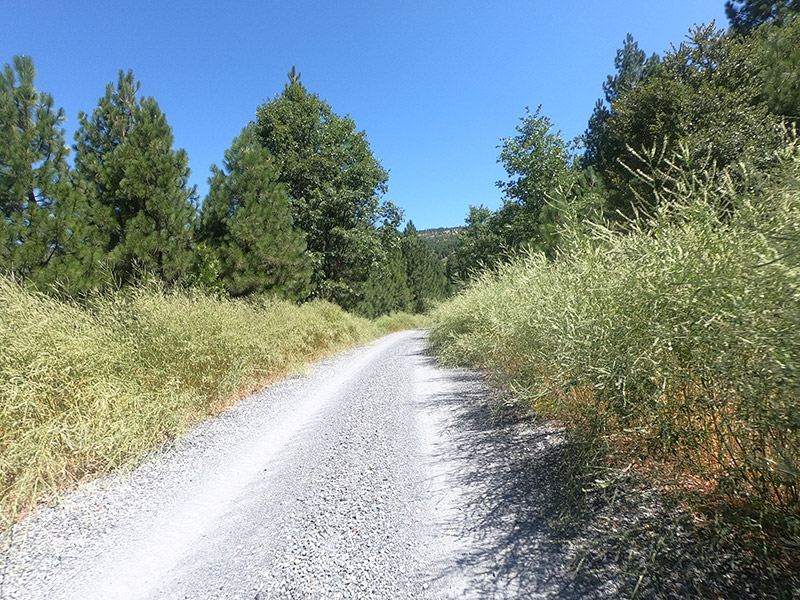
Most of the ride from Sand Flat to Riverton is on well-packed gravel road. It's overgrown in places, but well-maintained (there was a forest service employee in a tractor grading parts of the road the day I was there), with some loose sections, but very little washboarding. I did not see any cars along this unpaved stretch Mile 2107 to just past Mile 2114, where it meets Ice House Road). The grade has a few long climbs and steep pitches, and much of it is exposed. I clocked in 3,300 ft of climbing over the 23-mile ride. But all-in-all, an easily traveled mountain gravel road.
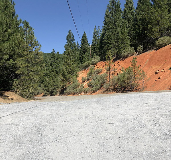
Ice House Road, at the west end of this section, is all downhill until it meets US 50 in Riverton. The pavement was smooth. There is little to no shoulder, and a surprising amount of traffic on the Monday I rode. The drivers were courteous, which was helpful, but still not a very pleasant experience.
In looking to avoid this stretch, I found and followed a "Hiking Trail" marked on maps (Also labelled 17N12A, just east of Mile 2116). At one point this was, and maybe still is, a Forest Service road, but was heavily overgrown. At one point, it dead-ended into a massive brush pile, and I lost the trail. I went cross-country from there, crashed in some loose dirt, climbed back to the overgrown trail, and made my way back on a very narrow ridge high above US 50. Short version: I'd recommend sticking to the pavement, unpleasant as it may be.
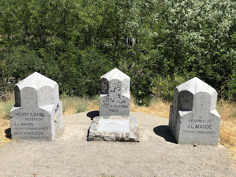
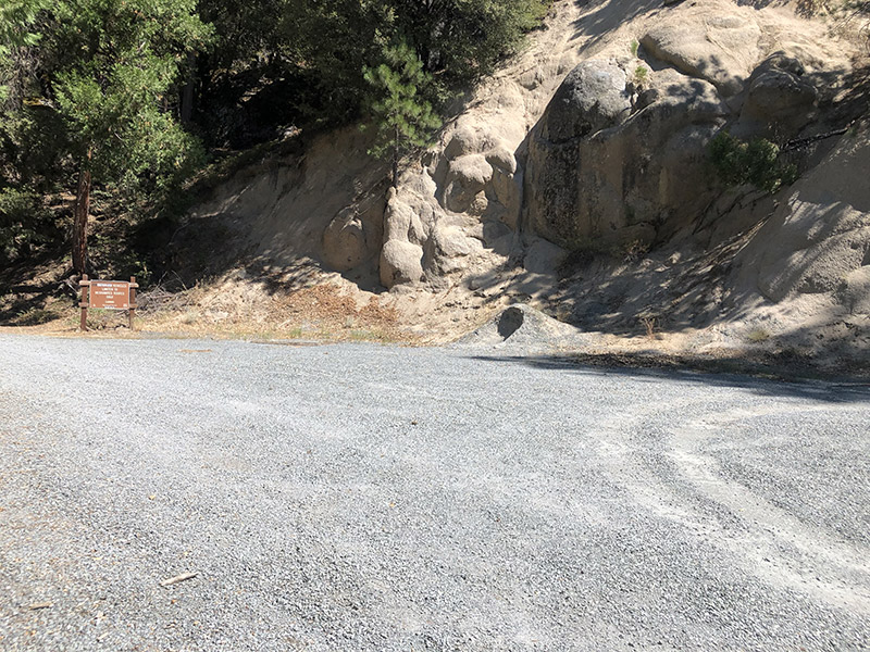
A few hundred feet west of where Ice House Road meets US 50 is a large turnout with a couple of historical markers for Riverton Bridge and Moore's (Riverton).
Riverton to Pacific House
As I just mentioned, this part of the PX Route is on US 50. The road here is four lanes, and there are paved shoulders (of varying width, usually narrower on curves) on both sides of the highway. I did not see the need to ride it, but tried to scout as I drove. It is not a particularly pleasant stretch of road. Cars are moving downhill very quickly, and there are a lot of oversized RVs and other vehicles hauling camping gear, recreational gear, etc.
Additional Camping
Eldorado forest allows for "Dispersed" camping, or camping in the forest outside of established campgrounds along a few forest service roads. There are two potential spots for dispersed camping in this area. Neither are very attractive, and I could only recommend them if you are desperate.
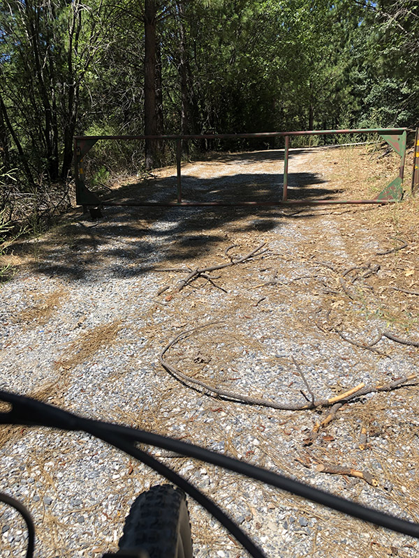
The first is on Weber Mill Road leading up from US 50. There is an area near a Forest service gate (to close the road for winder). There is a wide are there which rock climbers use for parking. While it would accommodate a tent, the entire area is gravel. It would be hard to get comfortable.
The second area is about a mile west of Riverton. There is a short Forest Service road that leads off US 50 to give access to the American River (at Mile 2119). I could not find a trail down to the river. There might be one, but everything I saw was too steep to haul a bike down, let alone back up. I saw a couple of spots on the dirt road where it looked like people had illegal fires. My guess is they weren't camping. So again, I can only recommend this as a last-resort camp of necessity.
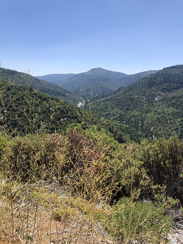
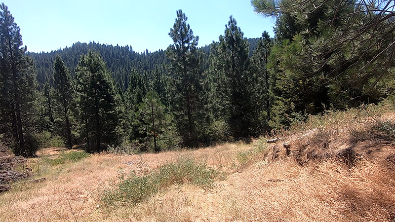
More Pictures from the ride: