June 28, 2021
Casper, WY to Independence Rock, WY
57.8 miles/2,700 ft.
70s/northeast winds
https://ridewithgps.com/trips/70194128
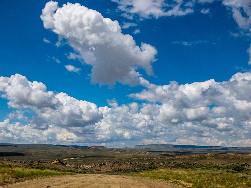
Looking over my short version from yesterday, I have to say that I pretty much covered all the high points. I spoke with hardly anyone, just a couple of passing comments to people at the rest area by Independence Rock. The rest was all in my head.
Remember that the route I rode on Day 28 was a bad passage for emigrants. It was anywhere from 30 to 50 miles (every author quotes a different number) from the North Platte River (at Ft. Casper) to the Sweetwater River (at Independence Rock). There was danger from alkali poisoning in the water, and a couple of hard climbs, Emigrant Gap and Prospect Hill.
To that end, a little background wouldn’t hurt. First, a couple of passages about Emigrant Gap:
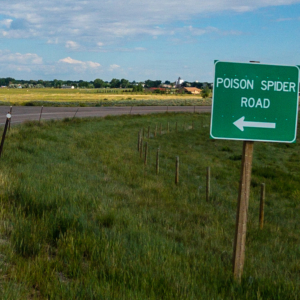
This leg of the trip, Emigrant Gap (today sometimes called the Poison Spider Route), was a bitter introduction to what lay ahead: long stretches of hot, hilly trail with little feed for the animals, punctuated with stinking, toxic alkali waterholes. That poisonous 30-mile stretch between the North Platte and lovely Sweetwater Valley would kill many an ox and emigrant through the overland trail years.
“All the air is strongly impregnated with effluvia from dead oxen it is like walking over a field of battle after three hot suns have [beat] upon the thousand dead.” —Charles B. Darwin on the Emigrant Gap segment, 1849 California emigration.
“Here [at Poison Slough, west of Willow Spring] are the graves of some five or six persons who drank of the water and died in a few minutes. Notices are stuck over the graves and at the road side… “He drank of this water and died.” “Drank at this spring and died.” “This water is poison.” “Death!” “Poison!” “Beware! For God’s sake do not taste this water! Happy is the man who can read!” —James W. Evans, 1850 emigration
National Park Service, Auto Tour Route Interpretive Guide–Wyoming, p. 12
And from Irene Paden:
Our road started uphill and rose higher and higher, but very gently. Wyoming makes less fuss about its elevation than any place I know. To our left was the wide sandy pass used by migrants of the sixties. A later generation of indigenous Casperites have named it Emigrant Gap, one of a long series of Emigrant Gaps that puncture the trail clear to the Pcific coast. The highway uses a parallel pass nearby. Just beyond it we found Poison Spider Creek, all the wrong colors for respectable water and very scummy, but wholesome in comparison with the neighboring supply, for the emigrants now had a new trail bugbear—alkali.
The travelers had seen alkali water along the Platte, but with the river running near by, the discolored pools were little temptation to the cattle. Now the migration wallowed in billowing dust (also tinctured with alkali) that choked and almost blinded the animals. Their ears, ey rims, and nostrils were coated an eighth of an inch thick, and the implacable brassy sun baked it solid. Anyting that looked like water caused a rush in its direction. . . .
And here again, it was all a matter of preparedness. After the enormous migrations of ’49 and ’50 had learned what not to do, later comers handled the fifty-odd miles of semidesert much better. After all the was good water at short enough intervals to preserve the stock if they could be kept from the poison pools between.
Irene D. Paden, The Wake of the Prairie Schooner, p. 202
As for Prospect Hill, which almost killed me:
A short way west of Willow Spring, Oregon Trail travelers heading for Utah, Oregon or California came to a steep hill, where the road rose 400 feet in elevation in the space of a mile. “[A] pretty hard drag,” California-bound W.S. McBride called it in 1850. He was right; many emigrants had to double-team their oxen to make the grade. But at the top, he and all other travelers then and now were rewarded with a sweeping view of new country. Diarists remarked often on the sight, and on how it lifted their spirits. . . . Poetry, shouts and song—year after year, reactions were similar. “As we reached the summit of Prospect Hill, the whole Sweetwater country broke upon our view, with mountains north and south, evergreen timber and snowbanks on their sides, land sage plains between,” wrote Elizur Shaw on July 20, 1862. “We could scarcely repress a shout at our first view of the mountains.”
https://www.wyohistory.org/encyclopedia/prospect-hill
All Prospect Hill got from me was a lot of cussing.
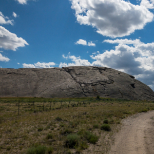
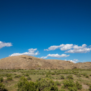
Finally we get to Independence Rock, another stationary object where everybody who passed wanted to carve their name.
A few miles upstream from where they gained the Sweetwater River, the emigrants came to Independence Rock—a half-mile-long ridge of granite that rises like a whaleback from the sagebrush sea of the Sweetwater Valley. It was a rite of westward passage to write one’s name on Independence Rock. Thousands of signatures plastered its surface during the emigration years, and many remain today. Emigrants carved their names with hammers or chisels, or painted them with sticky mixtures of black powder and buffalo grease. . . .
A party of 1830 trappers and traders lead by William Sublette probably gave Independence Rock its name when they celebrated Independence Day at its base. For the emigrants, the name signified westward progress. If you reached Independence Rock by the Fourth of July, you were on schedule to get over the western mountains before winter snows.
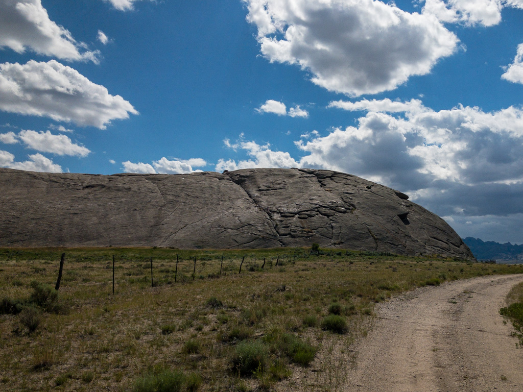
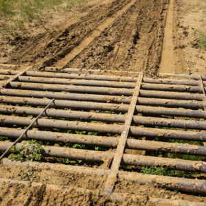
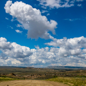
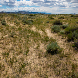
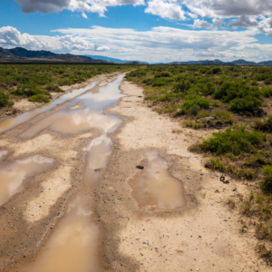
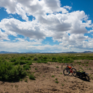
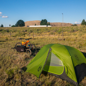
I should probably add that the terrain after Casper went very quickly to high desert. Sagebrush everywhere. Also that I was sprinkled on a couple of times by lingering clouds, but not enough to cover up. And that there now seem to be a lot more insects than before. The kind that swarm in your face and sometimes bite or sting. I was having quite a time on the Pathfinder Ranch road swerving between deep sand and alkalis pools, avoiding prickly pear, and swatting bugs. I was not a happy camper when I arrived at the Independence Rock visitors area/rest stop. But a short nap on a concrete picnic bench, fluid replenishment, and an early dinner took care of that.
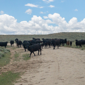
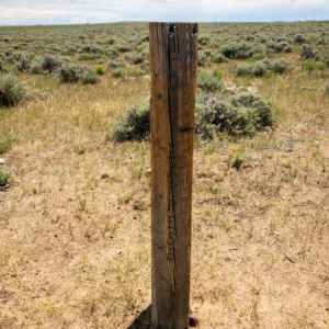
I think anything else I have to say can be gleaned from the pictures, so I’ll post them below.




Looks grueling. I started w Day 31 and now I’m back tracking…?. – Suma
Parts of it are worse than others . . . Though, of course, some parts were more pleasant. I hope it makes a fun read for you either way.
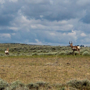
Those cows are from Africa, I believe, very docile and friendly???
Interesting. Such huge horns!
Impressed with your perseverance. brenda
Stubbornness.
To paraphrase Charlotte, that long horned thing is “some cow.” Glad it was fenced in. You had enough to deal with.
Very Brutal
It was a hard afternoon, I won’t lie.
Brutal
But on some level, it’s what I signed up for. Otherwise I could stick to roads and power out 100 miles a day (give or take). But yeah, sometimes I do wish that was what I was doing. It’s so much easier.