The purpose of this scouting trip was to see if there were any obstructions along the Old Overland Road between US 50 and Smith Creek Summit. My previous post scouted the XP Bikepacking Route just east of this section: Old Overland Road north of US 50 from Jacobsville/Reese River Station to the US 50. And on my last trip to Austin, I scouted the next section of the Bikepacking Route: passage over Smith Creek Summit, which includes Dry Wells Station. You can see that report here. The part I left unscouted was the section in between: Old Overland Trail from where it heads southwest from US 50 to the point it meets my previous scouting trip over Smith Creek Pass.
Getting onto Old Overland Road
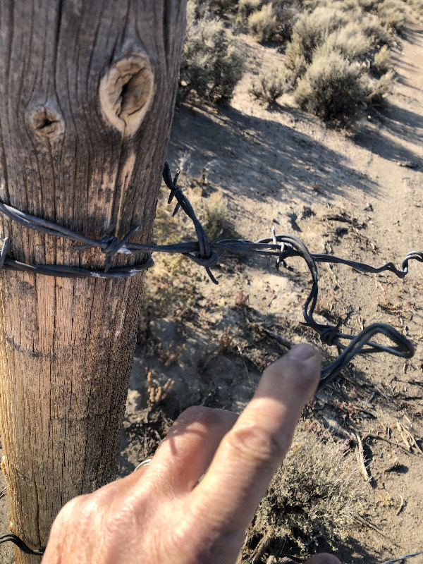
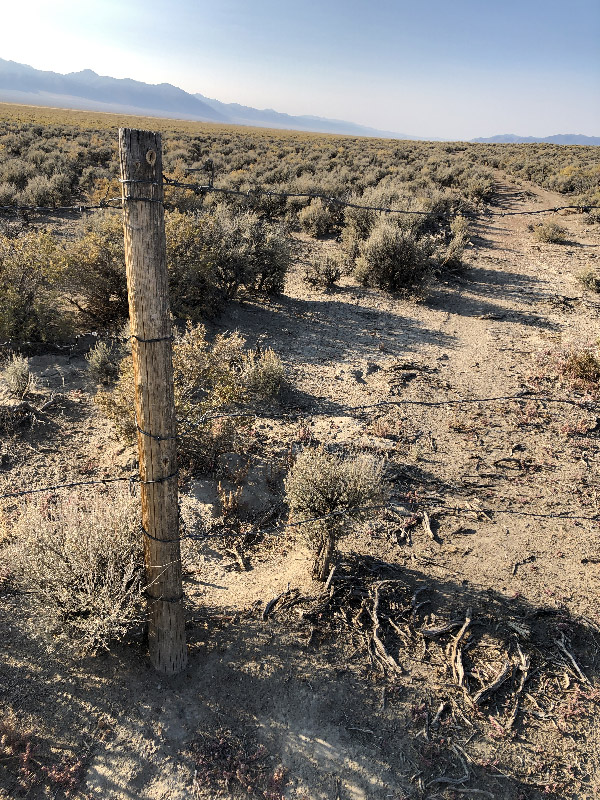
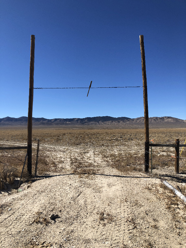
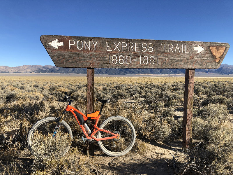
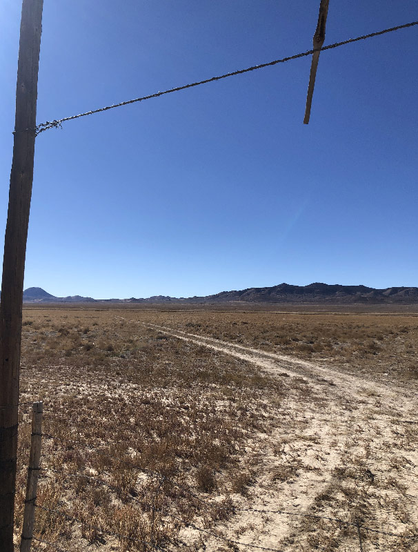
The place where the Old Overland Road starts south from US 50 is marked by a large sign (as shown in the picture with my bike above). Like all the open land in this area, the areas north and south of US 50 are fenced off. In a previous trip, I saw the fence and concluded there was no access from the freeway. On a subsequent trip, and under closer inspection,I found that the fence across Old Overland Road was actually a gate. To get through, it's just a matter of unwinding three strands of barbed wire, then rewinding them once you're on the other side. So I knew I could get access.
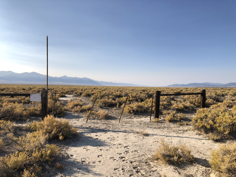
That being said, there is another fence about 1/3 of a mile to the east that is easier to open. It's marked with a tall white pole, and is opened by unlooping the loose piece of stick at one end of the gate. This is the way I suggested going in my last post.
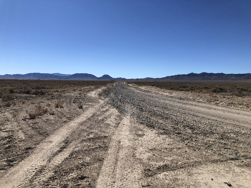
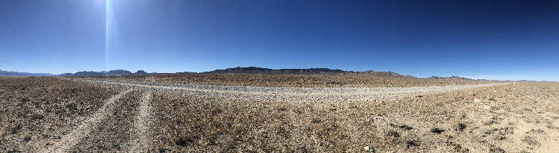
Whichever gate you use, the Old Overland Trail is easy to follow from here to Smith Creek Pass. It is a clear two-lane gravel road that runs more or less dead straight for five miles before anything happens. The thing that does happen is it joins with an even wider, well-graded gravel road. The two roads run the same course for a short distance. Then, the gravel road makes a bend to the left (east), while the two-track Old Overland Road continues straight. But, counterintuitively, you need to turn with the gravel road to continue south. There are no visible gates on the Old Overland Road at this point, but a mile or so down the road, it runs into a private ranch. I did not ride down to check for No Trespassing signs. But I did see the Old Overland Trail from where it emerges from the ranch on the south, and it was clearly marked and blocked on that end. The short version is if you're hard core about sticking to the Old Overland Trail, you might be able to sneak through the ranch property. But with the gravel road as an option, there's no need to risk pissing of a rancher or retracing a couple of miles of trail.
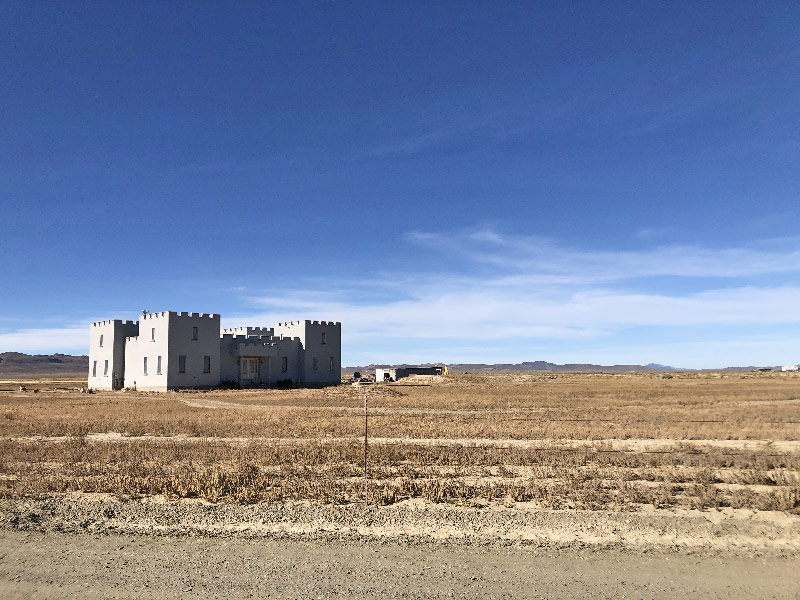
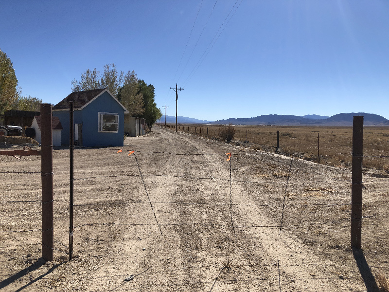
The gravel road bends to the east, then back to south, before making a ninety-degree turn to the right to rejoin the Old Overland Road. The turn is hard to miss because in the northwest corner is the Paradise Ranch Castle Bed & Breakfast, an unmistakeable landmark. After turning right (west), you stay on a nicely graded road for just about exactly a mile until it dead ends. To the right is the ranch that blocks the Old Overland Road. To the left is another ranch with a private driveway (which starts the same place you turn right at Paradise Ranch Castle). But right there on your left (south) side is another gate held by a loop. There are no No Trespassing signs here. But this is the semi-tricky part. As soon as you go onto this ranch property by going through this gate, you turn right (west) and go through a second gate to exit the property. From the gate you can see the Old Overland Trail two-track continuing inexorably in the same southwest direction you started on back at US 50 about six miles earlier.
The trail continues as before, clear to see, easy to follow. Though it does start to climb more as you approach the pass.
So, in short, there are no hindrances to taking this route. As I mentioned in my last post, if you want to make time, or just give yourself a break from dirt and dust, you can parallel this route by sticking to the pavement on Nevada State Highway 2/722. Both end up crossing the Shoshone Mountains at nearly the same place, and the two trails reconnect just west of the Shoshones. And to make things easier, there are a handful of trails and roads that connect the Old Overland Trail with Nevada 722 along this stretch, so you can always switch routes if you change your mind.